The Bay Area is bracing itself for the arrival of yet another atmospheric river, as meteorological experts and local authorities closely monitor the impending storm. This article provides an overview of the current weather situation, preparations, and concerns within the region as it faces the imminent threat of heavy rainfall and potential hazards.
Residents and Officials Prepare for Heavy Rainfall and Potential Hazards
The atmospheric river, a meteorological phenomenon characterized by a concentrated moisture flow, is making its way towards the Bay Area. Satellite radar images show the storm swirling ominously, indicating the severity of the impending weather event. As the storm approaches, residents are preparing for what promises to be a significant weather event.
As of now, the Bay Area has experienced light rain, giving residents a foretaste of the storm. However, meteorologists emphasize that this is just the beginning, and conditions are expected to deteriorate dramatically. The main event is forecasted to arrive, packing a potentially dangerous punch in the form of heavy rain, gusty winds, and other adverse weather conditions.
To address the impending weather threat, the Governor has announced the activation of the State Operations Center, underscoring the seriousness of the situation. Local authorities are taking proactive measures to ensure the safety of the community.
Chief Meteorologist Jeff Ranieri provides insight into the evolving weather patterns. He notes that the critical moment to watch is expected to occur tomorrow afternoon and evening. For the region to experience heavy rainfall, two key factors, the storm front and the atmospheric river, need to converge. The Doppler radar currently indicates light to moderate rainfall over the North Bay and Peninsula.
The timeline for the storm’s impact involves a relatively dry morning commute, with spotty showers in some areas. Rainfall is expected to pick up around 10:00 AM, primarily affecting Marin, Napa, and Sonoma. However, the real concern lies in the widespread rain forecasted for tomorrow afternoon and evening, with the potential for street flooding due to the rapid accumulation of rainwater.
Gusty winds are also anticipated, with wind gusts ranging from 15 to 20 miles per hour during the morning. The brunt of the storm, occurring around 5:30 to 7:00 PM, is expected to bring southerly gusts of 30 to 50 miles per hour. These high winds have the potential to bring down power lines, raising concerns about power outages.
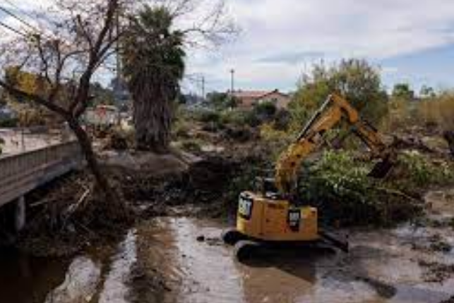
While meteorologists continue to monitor the situation closely, residents and authorities in the Bay Area are preparing for the impending storm. Concerns include the potential for landslides, saturated tree roots leading to toppled trees, and flooding of creeks and streams.
Residents of Napa, in particular, are vigilant as they remember past flooding events and are aware of the risks associated with rising waters. The city has flood gates ready to deploy in case the Napa River overflows its banks. Meanwhile, in the East Bay, concerns about landslides persist, as the region has experienced soil instability and tree-related incidents during previous storms.
As the Bay Area braces for another atmospheric river, the community remains vigilant and proactive, with the hope of minimizing the potential impact of this powerful weather event. Preparations are underway, and residents are encouraged to stay informed and take necessary precautions to ensure their safety in the face of nature’s fury.
Read More:
- El Mirage mass murders arrests and motive, Porter Ranch middle school debate | The Rundown 1/29
- Parents of OnlyFans model Courtney Clenney, charged with murder of boyfriend, arrested in Texas
- Unlocking Financial Relief: How Eligible Recipients Can Secure a $12,000 ‘Stimulus Check’ Through Tax Credits and Rebates
In conclusion, the Bay Area is on high alert as it prepares for the arrival of another atmospheric river. The convergence of heavy rainfall and gusty winds poses potential hazards to the region. Residents and authorities are united in their efforts to mitigate the impacts of this storm, emphasizing safety and preparedness as they face the uncertainty of what lies ahead.

